Work / 02
Biodiversity intelligence platform for a protected area
From scattered records to an open atlas, a WebGIS and a decision tool
- Organisation
- MontObEO research project
- Role
- Research Assistant · MSc thesis
- Years
- 2021–2023
- Location
- Montesinho, Portugal
41.930° N · 6.750° W - Scale
- region
Challenge
The Montesinho/Nogueira Special Area of Conservation (PTCON0002) had a biodiversity knowledge gap: records existed, but in regional and European silos, in different taxonomies, and nowhere a manager could open and query.
Data
- Species occurrence records from Portuguese and European sources
- Conservation status information (national and European)
- Satellite-derived environmental predictors from Google Earth Engine
Intelligence
- A compiled, standardised biodiversity dataset and atlas for the SAC
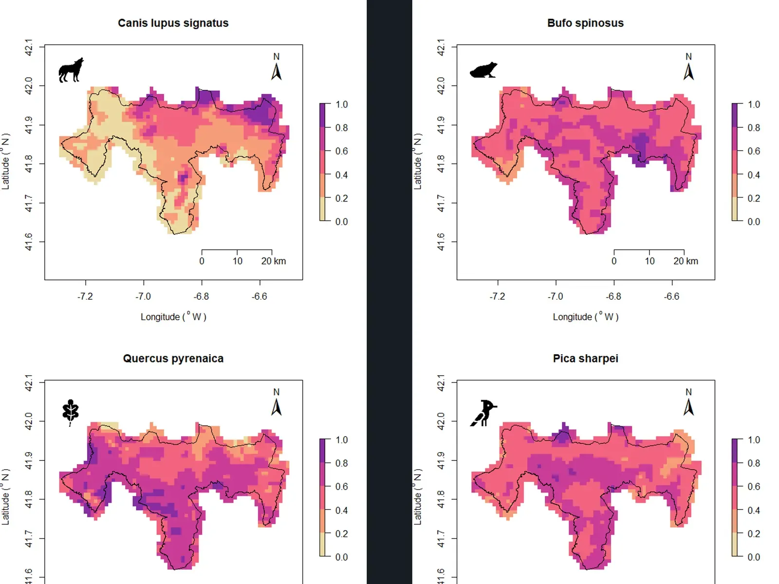
- Satellite-based ecological niche models (SRS-ENMs) for the main taxonomic groups
- Species richness and suitability surfaces, navigable per species and per group
- Stakeholder workshops translating outputs into management measures
Technology
- R Shiny
- Google Earth Engine
- MaxEnt
- QGIS
- Leaflet
Outcome
- An open dataset and atlas published in Biodiversity Data Journal
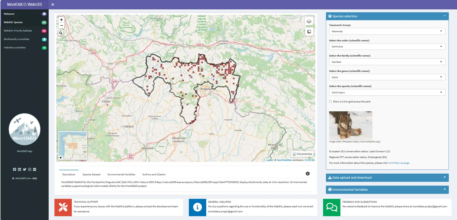
- A public WebGIS in Portuguese and English, still online
- A transferable framework reused in later work on richness trends and functional diversity
Why it was hard
A biodiversity atlas is only useful if a non-specialist can use it on a Tuesday morning. That meant reconciling taxonomies across sources, deciding what “conservation status” means when national and European lists disagree, and designing an interface where a municipal technician and an ICNF ecologist find what they need in the same tool.
What it changed
Conservation discussions for the SAC now start from a shared, open map rather than from whichever spreadsheet someone happened to have.
Visual evidence