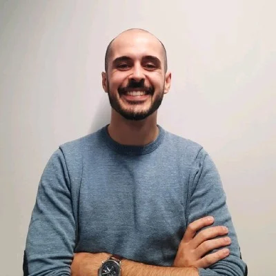
A biologist who learned to build decision tools.
I started wanting to know where species live. That became modelling why they are there, forecasting where they will be, and — eventually — building the tools a manager needs to act on it.
The through-line is decision quality. A species distribution model, a satellite time-series, a forestry dashboard and an AI evaluation are the same job: take a messy system, find the relationships that hold, and give someone a clearer choice than they had before.
Based in Castelo Branco, Portugal, working across Portugal and Europe, in Portuguese and English. Outside work: food and the outdoors, in roughly that order.
- 2026
- Postgraduate, Business ManagementISCTE Executive Education
- 2021 – 2023
- MSc, Environmental Sciences and Technology — 18/20University of Porto
- 2018 – 2021
- BSc, BiologyUniversity of Coimbra
Data → models → scenarios → decisions
The same five moves whether the subject is a protected area, a forestry crew or the whole European biodiversity map.
Observe
Understand the system before touching the data. What is the decision, who makes it, and what would change their mind?
Connect
Integrate sources at the scale where each is strongest — satellite archives, occurrence records, operational logs, socioeconomic pathways.
Model
Identify relationships that hold: niche models, land-use allocation, trend tests. Know what the data cannot support.
Simulate
Explore possible futures side by side. A single map answers a question; a set of scenarios exposes a choice.
Decide
Translate the analysis into a tool, a workflow or a recommendation — something that survives contact with a Tuesday morning.
Each stage built the next
A biologist who learned to model, a modeller who learned to ship tools, and a tool-builder who now works on what the decision needs.
- Biology
- Environmental science
- Spatial modelling
- Biodiversity forecasting
- Geospatial intelligence
- AI + decision systems
- Jan 2026 – presentRemote
Environmental Management Scientist (AI training)
Labelbox / AlignerrEvaluating AI-generated environmental-management and sustainability content — land-use planning, impact mitigation, decision outputs — against real-world frameworks.
- Feb 2025 – Sep 2026Guarda, Portugal · hybrid
GIS Analyst
Floresta Bem Cuidada, Lda.GIS & remote sensing for forest planning; dashboards and apps (R Shiny, Power BI, PowerApps, QGIS); ODT work-order system; Monday.com rollout; NIS 2 compliance with Pontual IT; website redevelopment; training colleagues.
- Nov 2023 – Feb 2025Amsterdam · hybrid
Junior Researcher
Vrije Universiteit AmsterdamNaturaConnect, Swiss Re Foundation and SIPATH projects: nested SDMs for 10,000+ species, CLUMondo land-use scenarios, climate/SSP integration, biodiversity forecasts for ~1,200 European species.
- Dec 2021 – Oct 2023Porto / Montesinho · hybrid
Research Assistant · postgraduate
MontObEOR Shiny biodiversity WebGIS for the Montesinho/Nogueira SAC, SDMs, environmental assessments, workshops with 40+ stakeholders.
- Summers 2020 & 2021Castelo Branco
Logistics & telecommunications operator (seasonal)
ANEPC — Autoridade Nacional de Emergência e Proteção CivilOperational support for emergency response — logistics and telecommunications during peak fire season.
Five systems, not fifty logos
Each capability is described by the outcome it produces. The tools underneath are evidence that it works.
-
- QGIS
- ArcGIS
- Google Earth Engine
- Leaflet / WebGIS
- Spatial analysis
-
- Satellite time-series
- Spectral indices
- Remote sensing
- MODIS / Landsat
-
- Species distribution models
- MaxEnt
- CLUMondo
- Climate & SSP scenarios
-
- R
- R Shiny
- SQL
- Power BI
- PowerApps
-
- AI evaluation
- Scenario analysis
- Decision support
- Workflow automation
Earth observation, data and AI — the ones that matter
- NASA ARSETSpectral indices with QGIS · Satellite data for air quality · Citizen science & remote sensing2023 – 2025
- GoogleData Analytics certificate2023
- Esri PortugalEUE 2022 & 2025 user conferences2022 · 2025
- Universidade do MinhoDatabase programming with SQL2025
- KI-CampusMethods of AI — Intelligent Agents · AI & Entrepreneurship2025